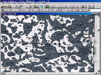
Soil Map Vectorization
- If your soil map is scanned as a 1-bit black and white
image, you can Auto Vectorize to get all parcel boundaries vectorized
automatically. If your soil map is drawn
on an aerial photo, scan the image as
grayscale.
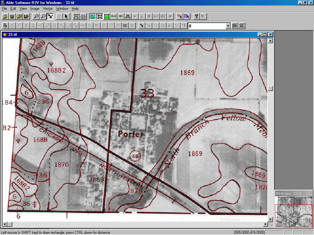
- Use Image/Set Image Threshold to separate the
lines from the background or use Image/Remove Background to
clean up the background.
- Select Vector/Auto Vectorize to trace all the boundary
lines automatically.
- Use the Vector/Create Polygon Layer function to
close all polygons
Flood Map Vectorization
- If the flood regions are in different colors, you can scan the
flood maps as color images and vectorize only the flood regions using
the Boundary Line mode.
- If you
have a lot of maps, you can process the maps using R2V's batch
processing mode to vectorize all the maps together with just a single
processing script.