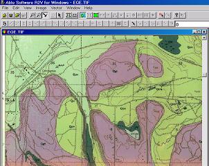
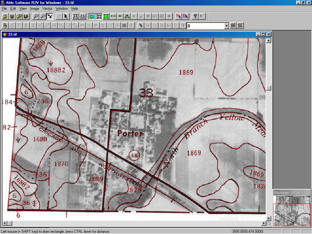
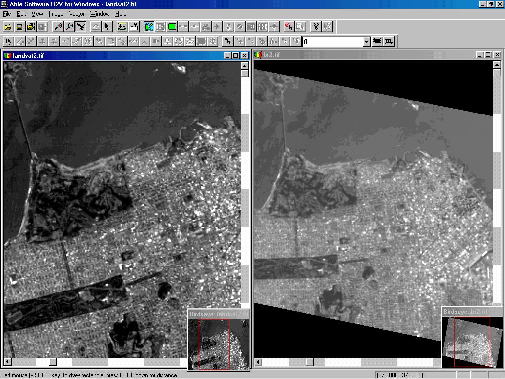
R2V IMAGE GALLERY
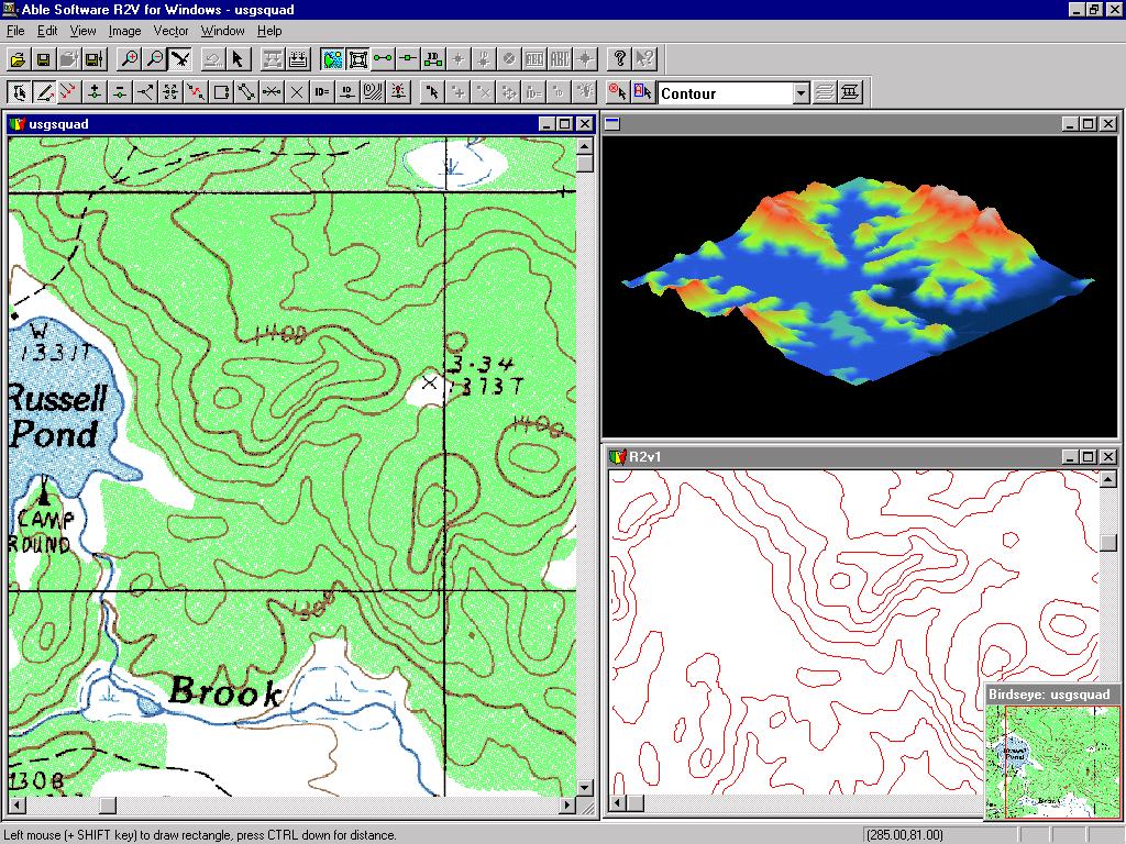
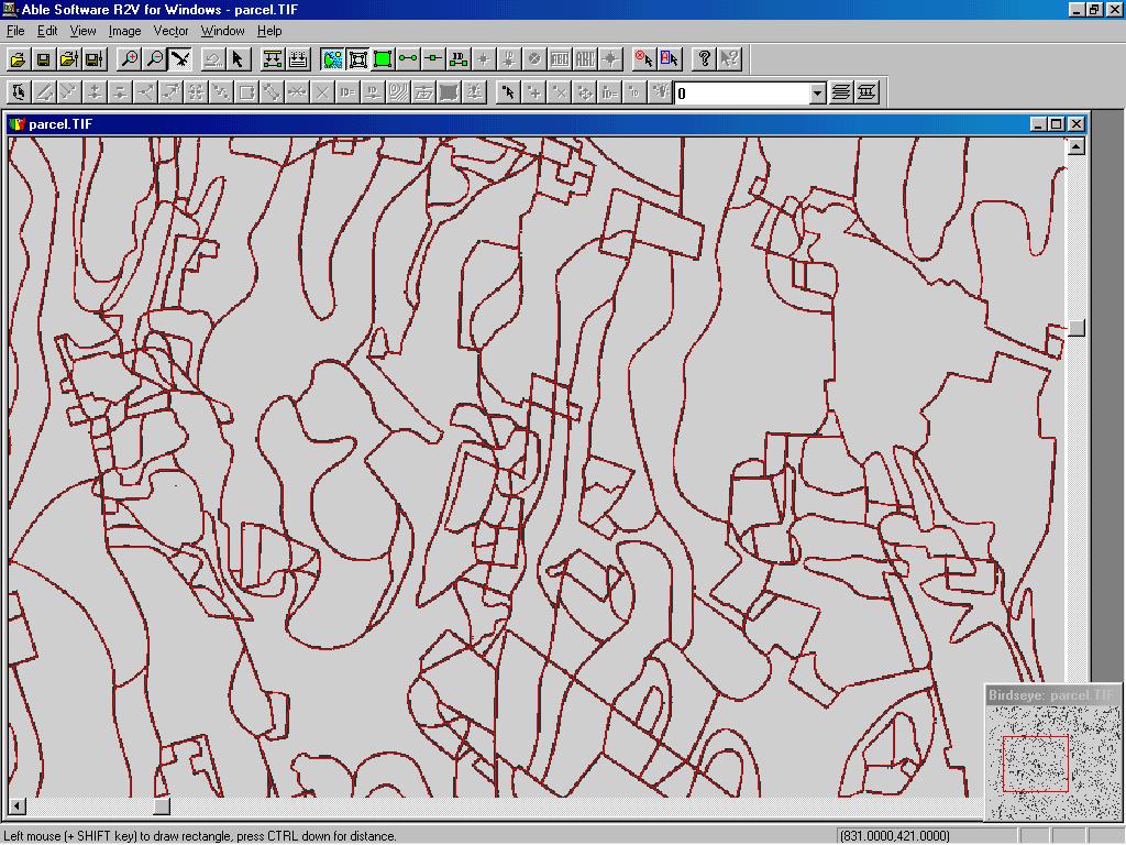
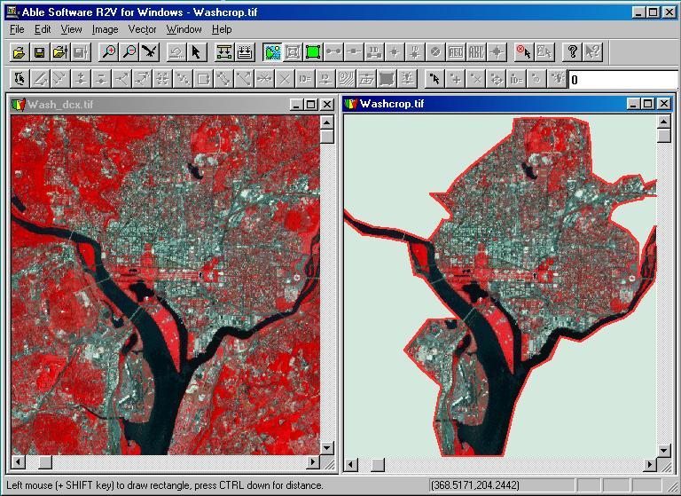
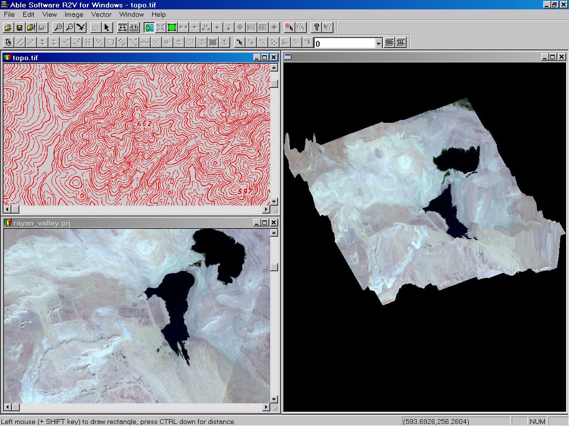
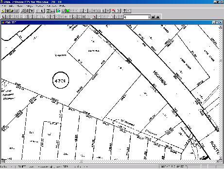
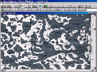
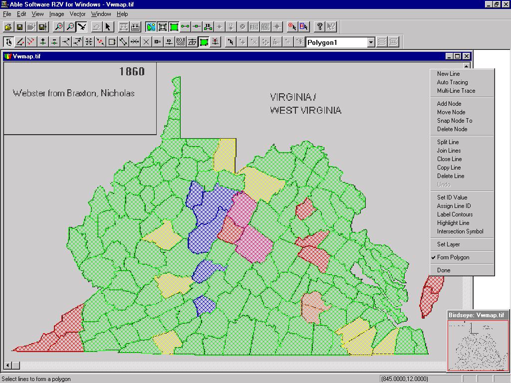
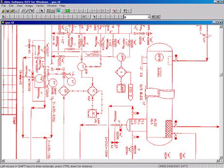
R2V is currently being used in more than 60 countries for applications including digitizing contour maps, parcel maps, geological maps, military maps, creating maps from natural source images (aerial photos, satellite imagery), utility maps, plant plots, mechanical drawings, and other types of drawings and maps.
The following are some sample images vectorized using R2V. Some images are provided by R2V users.